Published on November 27, 2023
Air Quality
The quality of the air you breathe every day has a big impact on your health. Air quality monitors on the ground and in space help us see where air pollution is improving and where there is more work to be done.
INFO
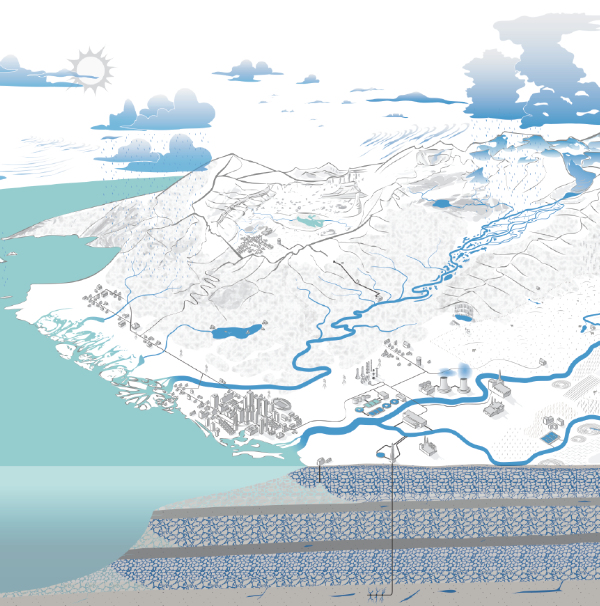
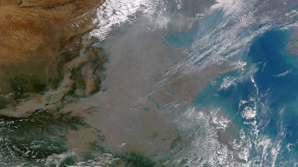
Air pollution is a global hazard, so it takes a combination of airborne, ground and satellite-based tools to better understand the origins and movement of pollutants, as well as the impacts on air quality. The causes of air pollution vary from human activities, such as coal-fired power plants, to natural events, like wildfires and dust storms.
Ground-based measurements are used to assess air quality and the concentrations of different types of atmospheric pollution. Ground-level data help evaluate information from satellite. And satellite data help fill the gaps between ground-based monitors, so there is global coverage over all neighborhoods.
Satellite-acquired data have many health and air-quality applications, including:
- Monitoring the movement of wildfire smoke and dust plumes.
- Tracking the path of ash from volcanic eruptions.
- Identifying concentrations of nitrogen dioxide, sulfur dioxide and other pollutants near cities, suburbs and major transportation systems.
- Understanding how concentrations of these pollutants are changing over time.
DID YOU KNOW?
The ozone hole is primarily caused by human-produced chemicals like chlorofluorocarbons (CFCs), which were banned by an international treaty in 1989 to protect our natural sunscreen. Modern global warming is driven by greenhouse gases like carbon dioxide (CO₂) and is primarily linked to the burning of fossil fuels.

Related Data Visualizations
Nitrogen Dioxide Over the United States, 2005-2022
This visualization shows concentrations of the air pollutant nitrogen dioxide in the lower atmosphere as detected by the Ozone Monitoring Instrument on NASA's Aura satellite, averaged yearly from 2005-2022. Over time, this air pollutant decreased even though population and the number of cars on the roads increased. The shift is the result of regulations, technology improvements, and economic changes. This air pollutant affects respiratory system and is an ingredient in other air pollutants like ground-level ozone. Nitrogen dioxide is mainly created by the burning of gasoline in cars and coal in power plants.